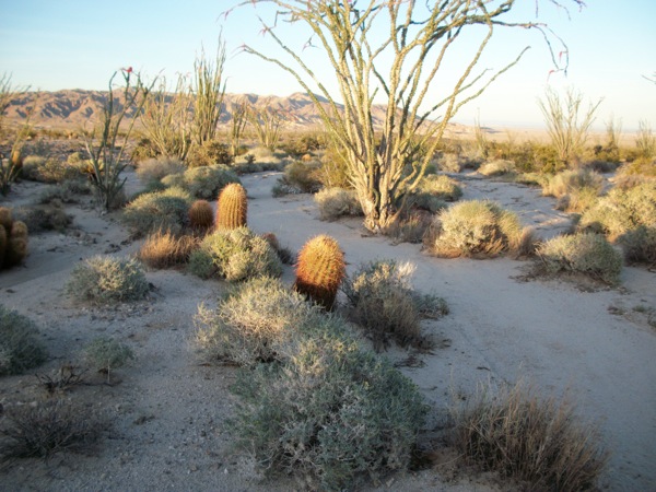
Beautiful Scenes of Spring
Pattern Energy Group is proposing to build a sprawling 15,000-acre wind project 5 miles west of the town of Ocotillo in Imperial County, the Ocotillo Express Wind Energy Project. The area is Colorado Desert and habitat for the Federally Endangered Peninsular bighorn sheep (Ovis canadensis nelsoni), and foraging grounds for Golden eagles (Aquila chrysaetos). See more about the wind project >>here.
Text and Photos by Terry Weiner
March 21, 2011 - The group met up just after 9:30 AM in Ocotillo. It was very windy with rain making it almost all the way across the Jacumba Mts. Mark Jorgensen arrived in the CA State Park 4-wheel drive 8 seater with acting Colorado Desert District Superintendent Gail Sevrens, Kathy Dice, Superintendent of Anza-Borrego Desert State Park, and Ralph Singer, Board member of the Anza-Borrego Foundation. Ileene Anderson, Joan Taylor and I arrived from different locations.
We spent about 45 minutes at the local saloon/restaurant looking at the maps of the proposed phases of the project and discussing historic presence of the peninsular bighorn sheep in the Jacumba and Inkopah Mountains. To the west and the Coyote Mountains to the east and in the southern extension of the Jacumba and the Sierra Juarez Mountains south of the border.
We traveled together north on Highway S2 for about 8 miles and got out of the car to look at a met tower to the east of the road and looked around at the vast beauty of the area, unmarred except for the gouging of a gravel mine on the west-facing slopes of the Coyote Mountains. Also a portion of the Southwest Powerlink travels through a corner of the here from east to west but because of the vastness of the area, does not industrialize the view somehow.
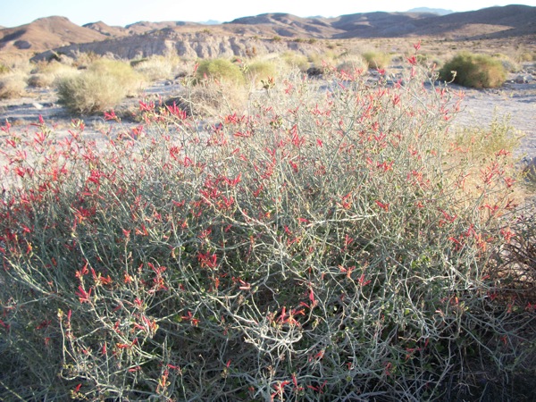
^Chuparosa (Justicia californica).
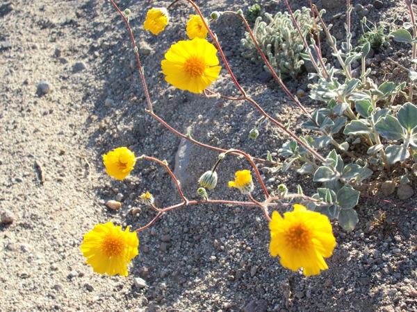
^Desert gold (Geraea canescens).
We looked to the east to the Coyote Mountains and Mark remarked that the ORV popular Painted Gorge Road enters the Coyote Mountains on the other (east side) of Coyotes and serves as the western boundary of the Plaster City Open Area. The road is closed at a certain point to ORV travel from January to June because the sheep still use the area as a lambing area. We had a lot of discussion regarding sheep sitings in the past couple of years in the general vicinity, including my 9/25/10 siting of at least three sheep at the base of the mountains along the north side of Highway 8 about 5 miles west of Ocotillo and the siting of the sheep on the Imperial Solar Two site in March of 2009. Mark opined that they need these low areas for browsing at certain times of year. We discussed the fact that sheep are sited regularly along Highway 8 and in the islands between the west and east bound lands and that they are still probably trying to use their former range which extends into Mexico. No provision was made for the sheep travel corridors when Highway 8 was built in the 1960s, after which the sheep population on both sides of the border began to decline.
We did not hike around on foot to observe the flora of the area. All seemed interested in looking at the big picture of the potential impacts of this project on sheep, mountain lions and birds, including raptors, especially in conjunction with the impacts of the Tule Wind project in the high desert west of the Jacumba Mountains, the La Rumorosa Wind project just south of the border, with the Energia Sierra Juarez transmission project, Imperial Solar Two and the Sunrise Powerlink Transmission line. We all agreed that the destruction to the viewshed from all points of view, including from several adjacent wilderness areas is a major impact. We discussed the enormous size of the windmill blades and the proposed heights of the towers and were in awe imagining what the construction of 400 wind turbines would look like. It would totally industrialize the area and devastate the character of the southern part of Anza-Borrego Desert State Park and the entire area of western Imperial County. We traveled up Shell Canyon Road to look at the site from a vantage point closer to the Coyote Mountains and Mark spotted a Helix Environmental truck and went to chat up the consultant in it who was there to monitor for raptors. They had just begun their monitoring for raptors (March 21st). I received a phone call yesterday from one of the consulting biologists who opined that the consultants have started raptor surveys too late in the season. The person said that they don't start monitoring until 9 AM and they only stay out a few hours and not every day either.
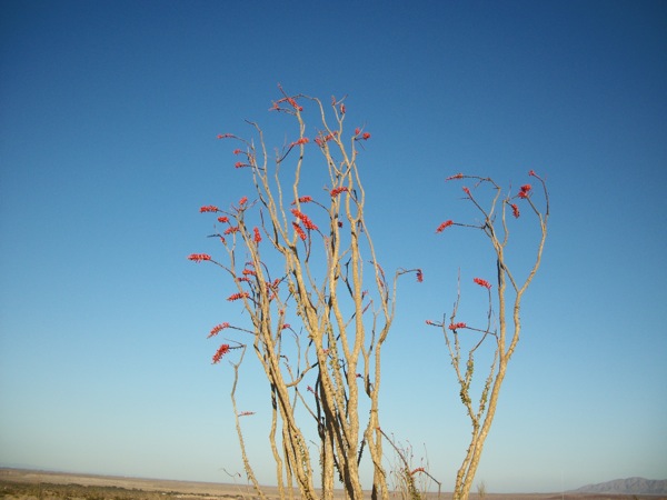
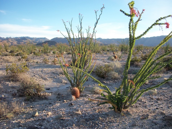
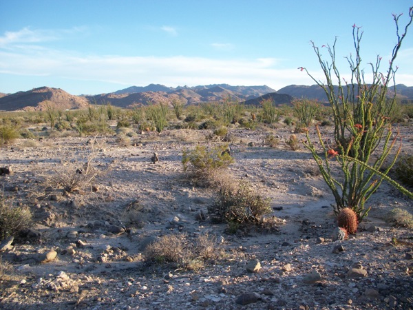
^Ocotillo in flower (Fouquieria splendens).
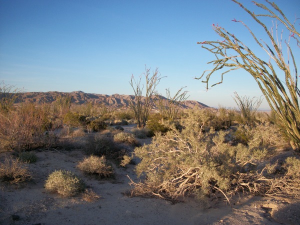
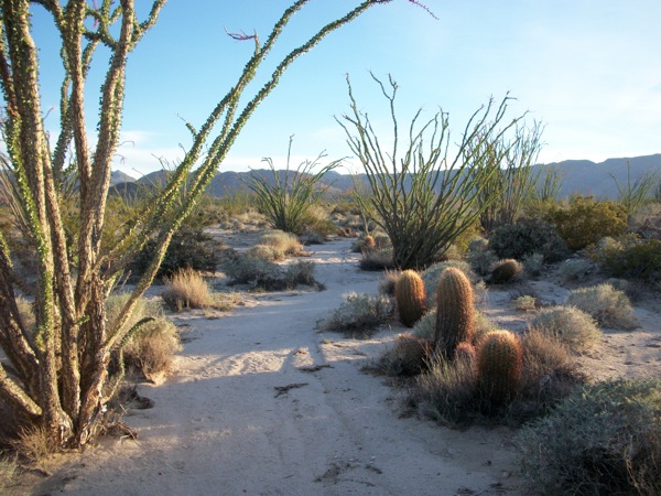
We then drove to a spot on the proposed site south of Highway 8 and looked at the beautiful alluvial fan coming out of the Jacumba Mts. and the gorgeous ocotillo forest to the south of us.
We parted company around noon. Ileene and I went to look for a out of the way Mexican restaurant off Highway 8 to the east that Mark told us about. After getting lost down some farm roads, we finally came upon it -- truly an out-of-the-way way station and it was closed on Monday!
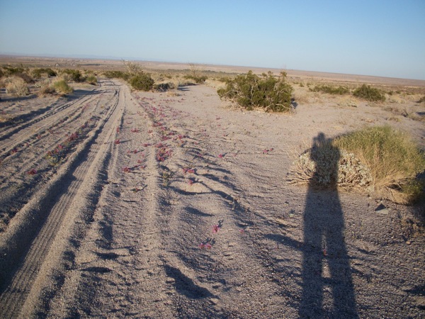
I returned late Tuesday afternoon March 22nd to the southern part of the site south of I-98. I walked across the desert from north to south. There are a lot of ORV tracks but none seem to have been used much in a while except for a couple of very wide (one about 30 feet wide!) used by the US Border Patrol. In fact as you approach the southern part of this area, there are a lot of roads, most of them less than 6 feet wide. The area has a beautiful and wild feel despite the roads and trails and the views in all directions are breathtakingly gorgeous.
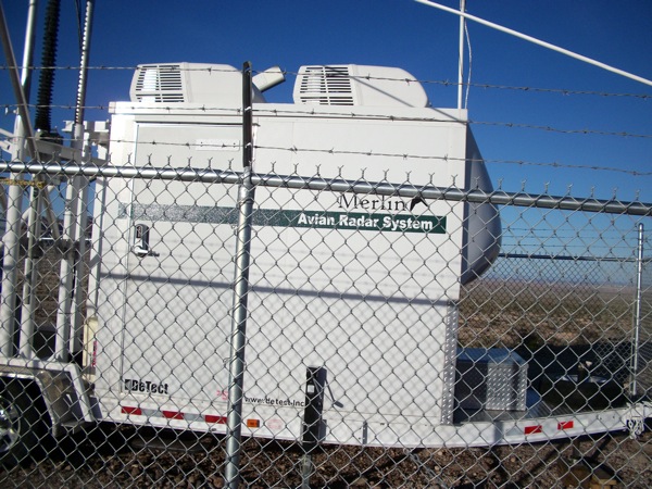
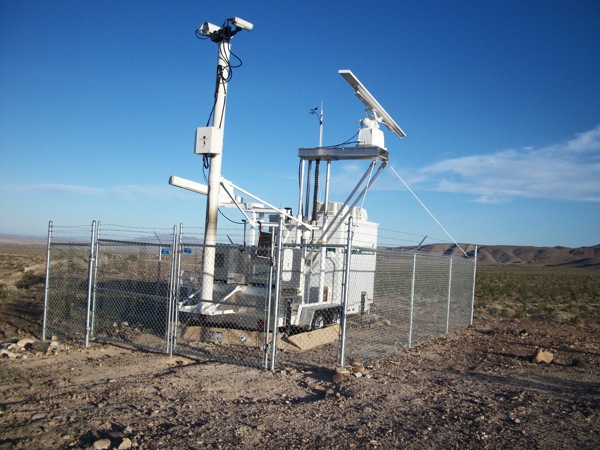
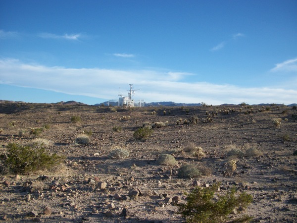
Last week on March 30th, I returned to the northern part of the site about 10 miles north and west of Ocotillo and walked up Bureau of Land Management Designated route 109 for a mile or so and came upon the noisy (you could hear the generator from over 100 feet away) " avian radar" equipment perched upon a low hill. I have no idea why they placed the apparatus in that spot or from how far away it can locate birds or bats, but I am going to contact one of the Pattern Energy folks to inquire.
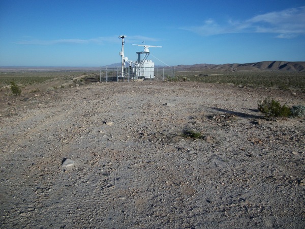
^Bird-detecting radar placed by the wind company, a theoretical peice of technology at best.
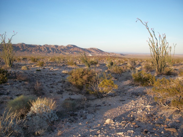
I walked cross country from north to south and came upon the densest Ocotillo Forest I have seen in the area. The desert pavement is beautiful and intact throughout most of the area and any ORV damage I found only along the designated route. There were virtually no tracks away from the route to the south. Interestingly, there were very few plants blooming in this area although there were a lot of pincushion flowers and yellow heads, the close relative. Lots of desert plaintain. I camped in this area with Tom Budlong last April 24th the day before we did our monitoring trip to Imperial Solar and there were more species in bloom then, so perhaps it is still early. It has been a chilly spring down there.
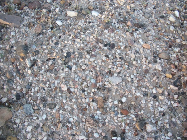
^Natural desert pavement.
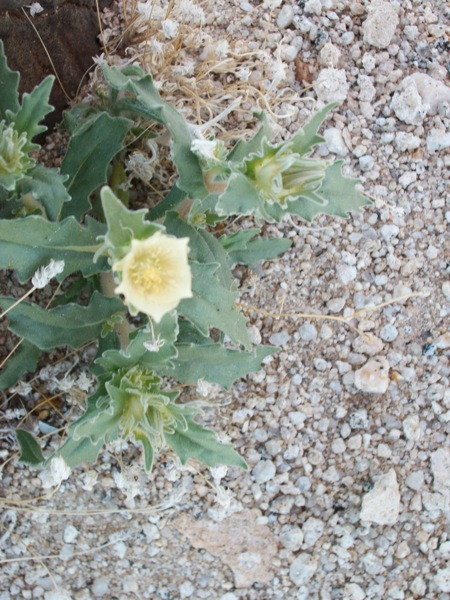
^Sand blazing star (Mentzelia involucrata).
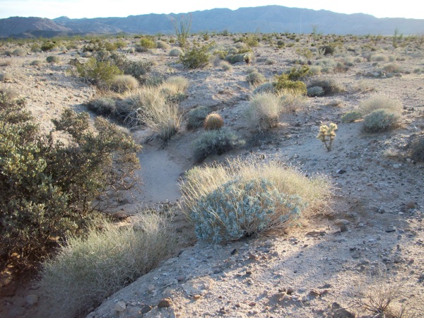
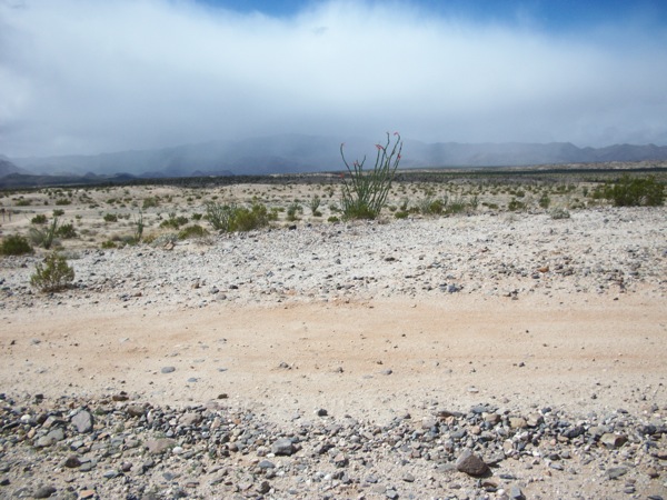
^Rain showers in the desert.
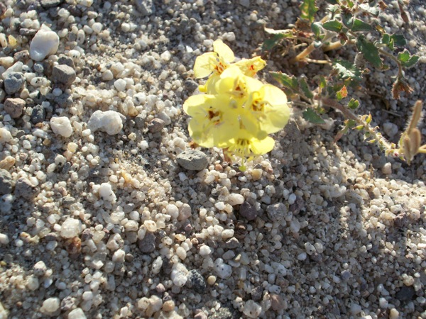
^Goldne suncup (Camissonia brevipes).
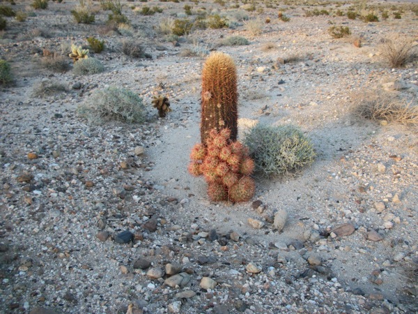
^Desert barrel cactus (Ferocactus cylindraceus).
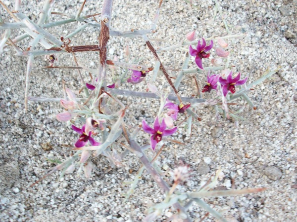
^Rhatany (Krameria sp.).
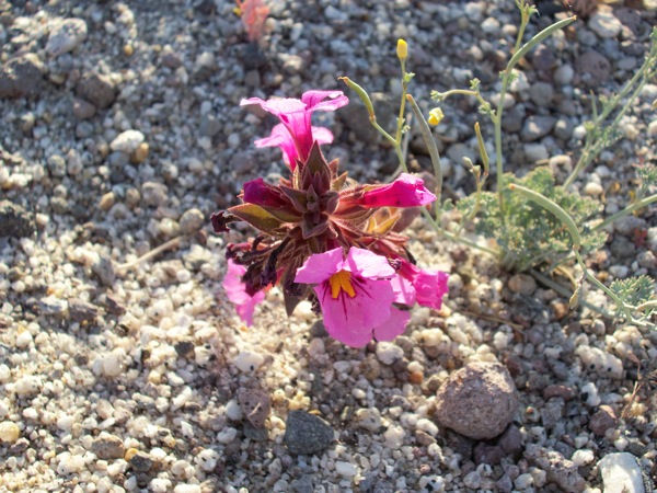
^Yellow-throat monkeyflower (Mimulus bigelovii) is a "belly flower" on the desert floor: you have to get down low to view them in detail.
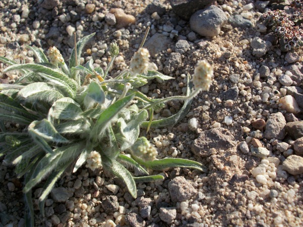
^Plaintain (Plantago sp.).
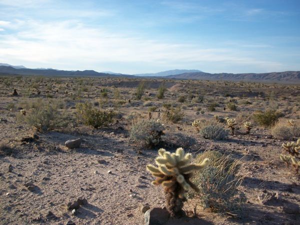
^Teddybear cholla (Cylindropuntia bigelovii).
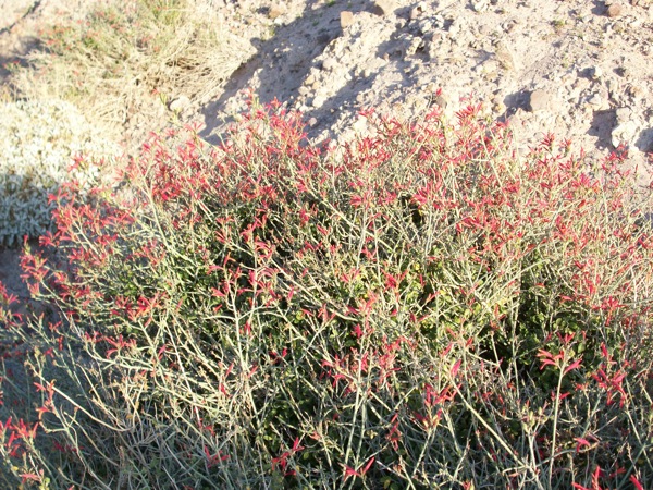
^Blooming chuparosa.
Peninsular Bighorn Sheep
The Ocotillo Express Wind Project site is home to the rare and Federally Endangered Peninsular bighorn sheep, a genetically unique strain of desert bighorn sheep that has adapted to the bouldery Colorado Desert mountain slopes and arid fans and flats adjacent, where ewes need to forage in spring to gain nutrition for their young.
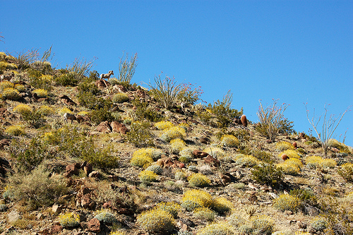
^Peninsular bighorn sheep seen in April 2011 on Montezuma Grade above Borrego Springs. (Photo by Larry Hogue).
What's At Stake
A 2011 wind project under construction in the Mojave Desert leaves large scars (photos by B&RW):
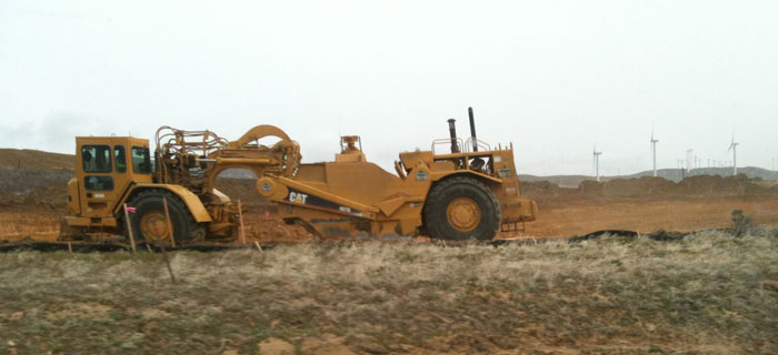
^Scraper-graders make wide pads for wind turbine generators, as well as new roads and maintenance yards.
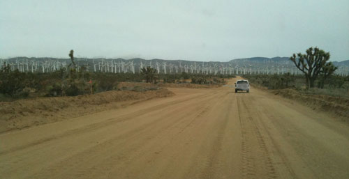
^New wide access roads are built through the desert.
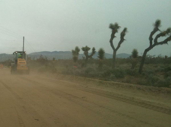
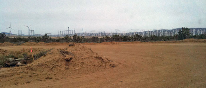
^Many pads are 100 feet in diameter to clear desert away for a single wind turbine generator.
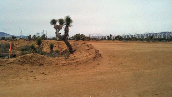
^Another single wind turbine pad in a Joshua tree woodland.
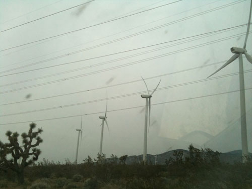
^No longer a wild desert.
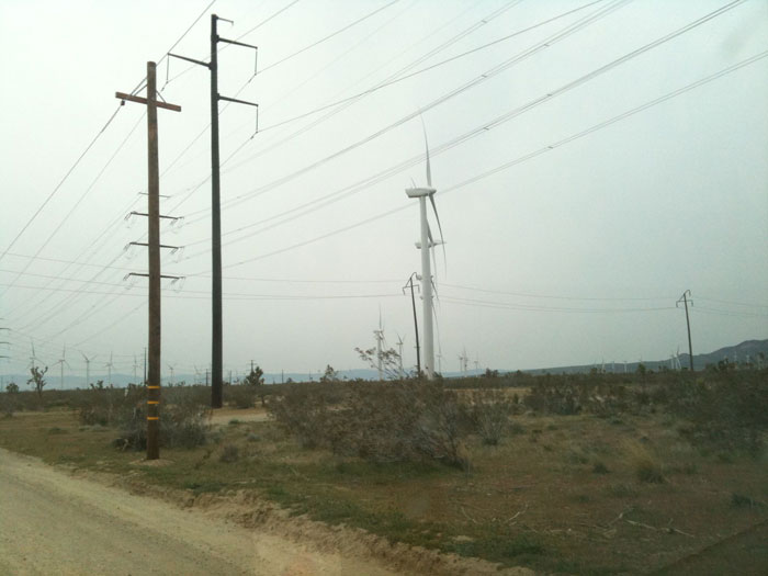
^Turbines, roads, new transmission lines fragment the desert.
