October Views of the Desert
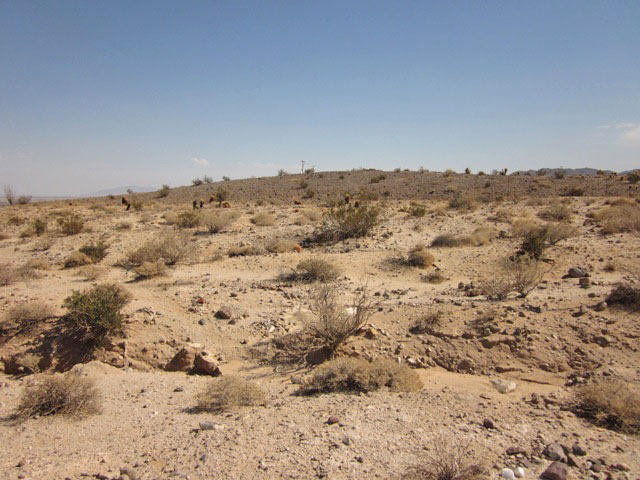
October 9, 2011 - At the western edge of the Imperial Valley in southern California's Colorado Desert, the fall brings dry weather. Ocotillo plants have lost their leaves and other desert shrubs look brown after spring greenery. The seasons change in subtle ways in the desert, with cold and heat, rains and dry months. This desert will come alive again after winter rains and spring warmth, but if a large new industrial wind project is approved here, the desert will be disturbed and fragmented for centuries.
These photos were taken October 1, 2011 by Terry Weiner of the Desert Protective Council and Solar Done Right.
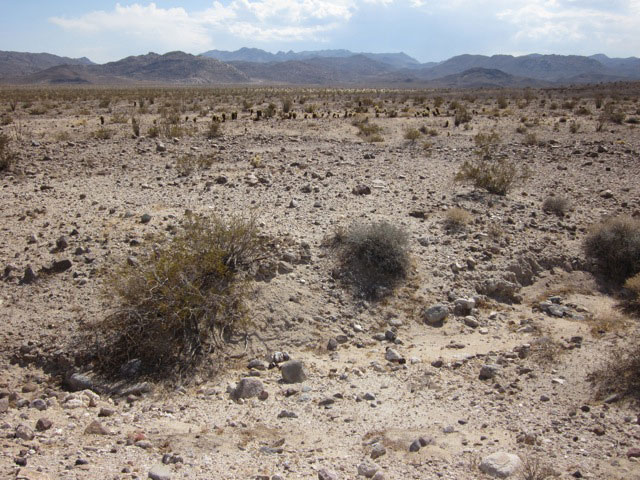
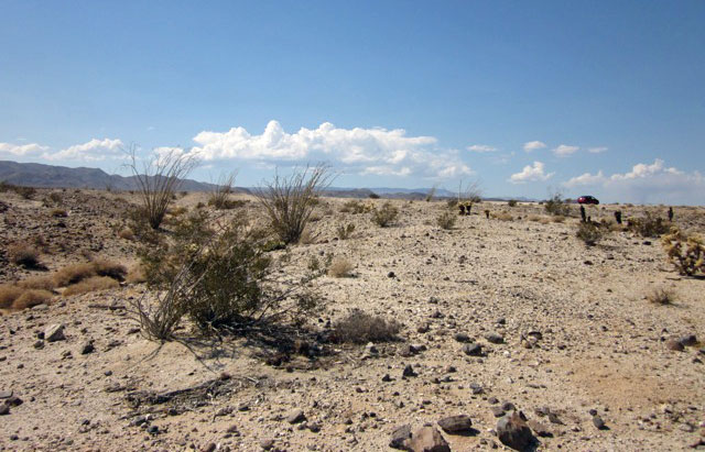
These photos show unspoiled 360 degree views from within the heart of the proposed project site. The wildness of the place can be seen from a few miles away. The impact from the already present Southwest Powerlink towers is diminished by the vastness of the surrounding unspoiled desert landscape. This is not a disturbed desert.
These photos are in the immediate vicinity of Bureau of Land Management route 109, which is in the heart of the proposed project footprint, about 2 miles west of Highway S2 (which is a rough road that normally has very little traffic from visitors heading to the southern end of Anza-Borrego State Park.
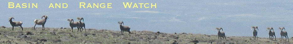
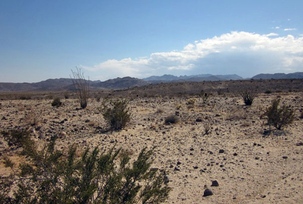
^Ocotillo (Fouquieria splendens) in the desert dry season, along with Teddybear chollas (Cylindropuntia bigelovii). (Photo by Terry Weiner)
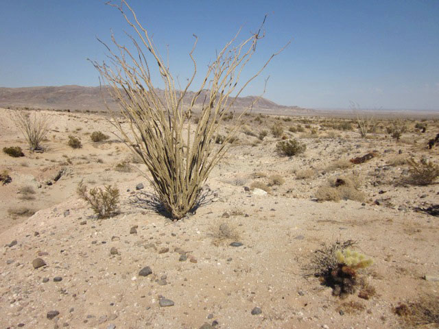
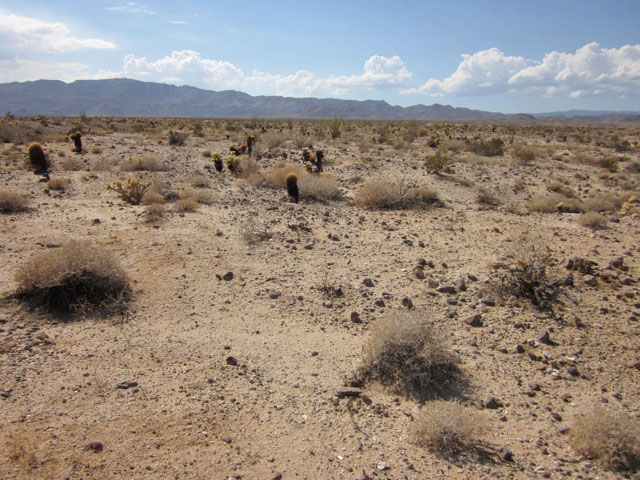
^Barrel cacti (Ferocactus cylindraceus) in the arid landscape. (Photo by Terry Weiner)
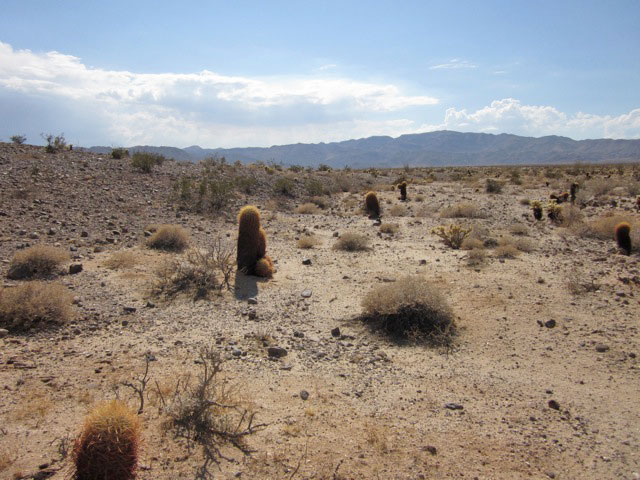
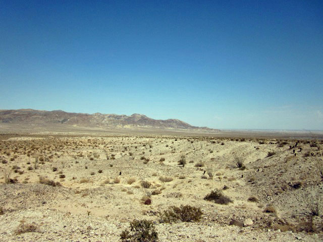
^Panorama across the low desert. (Photo by Terry Weiner)
^Dissected desert badlands and washes. (Photo by Terry Weiner)
^Small wash, which will carry floodwaters during storms. (Photo by Terry Weiner)
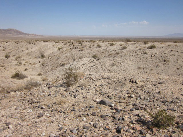
^View looking southeast. (Photo by Terry Weiner)
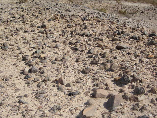
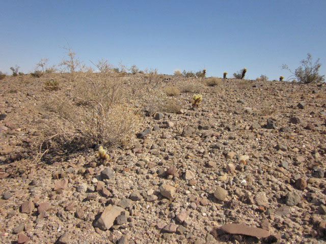
^Desert pavement, a natural soil type of windblown stony ground. (Photo by Terry Weiner)
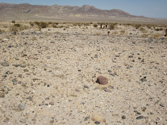
^Desert pavement. (Photo by Terry Weiner)
^Small badland hill. (Photo by Terry Weiner)
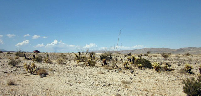
^Cholla cacti, barrel cactus, and Ocotillo. (Photo by Terry Weiner)
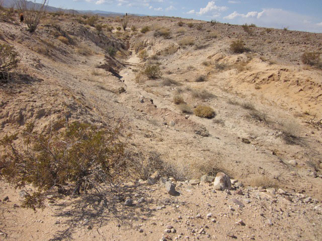
^Ravine, showing the depth of one of the washes close to BLM 109. (Photo by Terry Weiner)
^Looking westward. (Photo by Terry Weiner)
^Barrel cacti and chollas. (Photo by Terry Weiner)
^Stony hill with young chollas. (Photo by Terry Weiner)
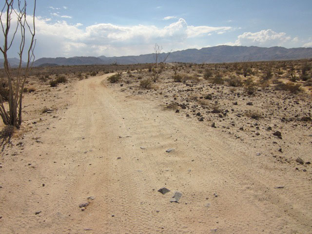
^BLM route 118 within the Ocotillo Wind project footprint. New roads wider than this will need to be graded all over this wild desert to accommodate truck traffic and construction machinery if the wind project is approved. (Photo by Terry Weiner)
Avian Radar for Wind Project
Radar equipment whose generator creates a rumble that can be heard a 1/2 mile away. Pattern Energy claims these radar installations will detect Golden eagles and enable biologists to shut down turbines before the birds are harmed. Claims are also made that groups of bats can be detected by these radar but results need to ne studied. In our view this is not adequate mitigation because it is so experimental.
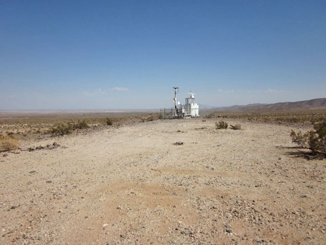
^Radar equipment on a low hill.
HOME.....Ocotillo Updates