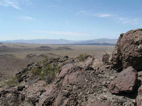
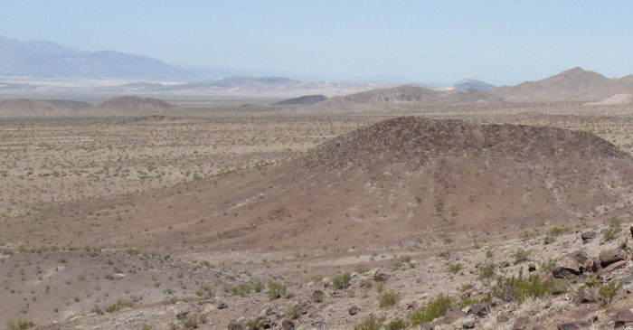
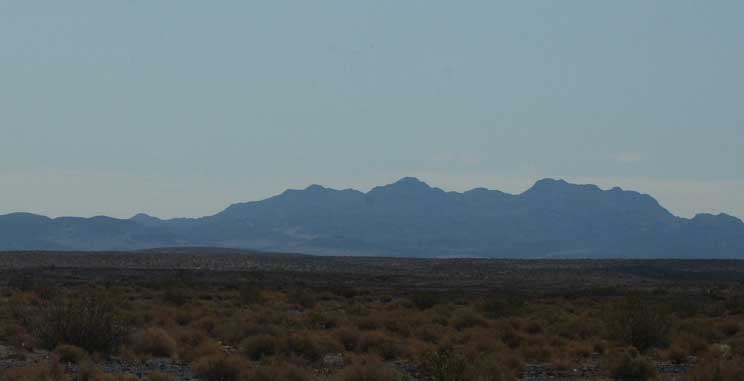
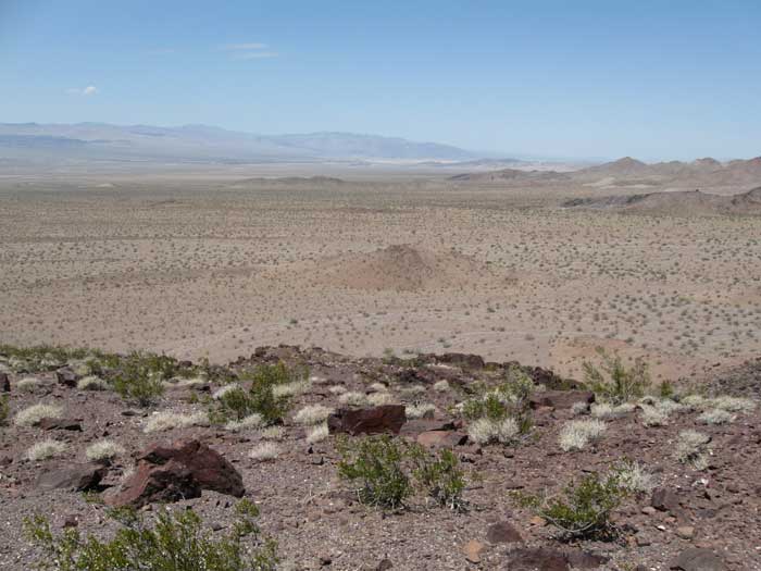
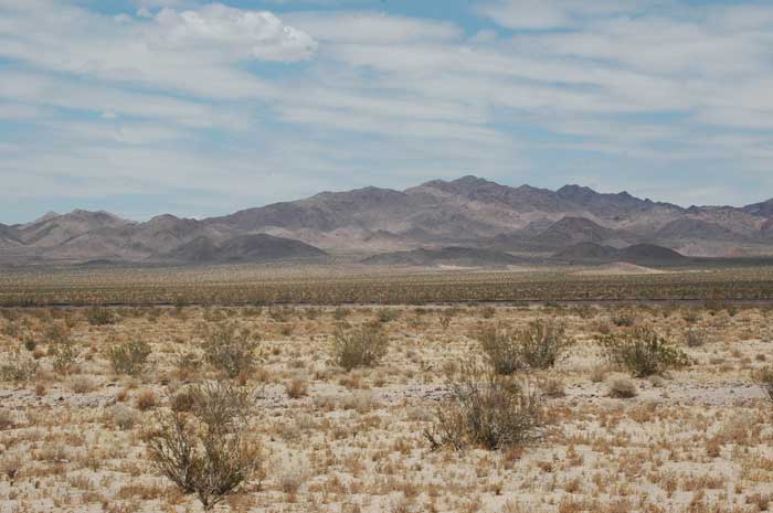
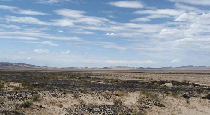
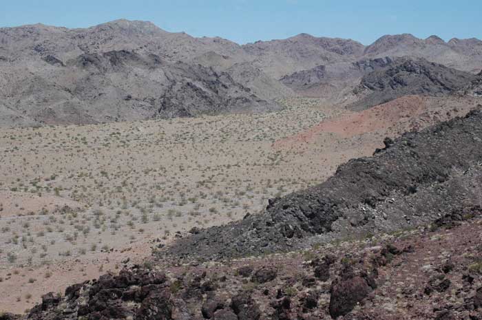
^View from the Cady Mountains Proposed Wilderness looking towards Pisgah Crater Area of Critical Environmental Concern. We explored the area in mid June, 2009. Photos are ours unless otherwise stated.
Calico (SES Solar One) Proposed Solar Project
July 20, 2009 - San Bernardino County, California
Stirling Energy System's (SES) Solar One Project, (a subsidiary of the Irish company National Toll Roads based in Dublin) in San Bernardino County, by SES Solar One, LLC, applied to the Bureau of Land Management (BLM) for a right-of-way (ROW) on public lands to construct a concentrated solar thermal power plant facility. The proposed Solar One project would be constructed on an estimated 8,230-acre site, approximately 37 miles east of Barstow and 115 miles northeast of Los Angeles, near the community of Newberry Springs. The proposed Solar One project, if approved by the agencies, would start construction in 2010. The project would utilize SunCatcher technology consisting of approximately 34,000 25-kilowatt solar power dishes with a generating capacity of approximately 850 megawatts to be built in two phases.
This stated wattage, however, is when the sun is shining full-on on a cloudless day. It does not take into account nights, short winter days with low sun angle, cloudy and rain days, windy days when the facility will be shuttered, or maintenance (if not done at night). Every generating plant has a capacity factor (the net capacity factor of a power plant is the ratio of the actual output of a power plant over a period of time and its output if it had operated at full nameplate capacity the entire time). Nuclear and coal plants might be 80-90%, but solar installations are around 25%. So the real output is more like 25% of the 850MW stated, or a little more than 200MW.
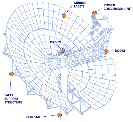
Tessera Solar and Stirling Energy Systems with support from Sandia National Laboratory in New Mexico developed the solar dishes. Mirrors in the dish focus the sun’s rays on a receiver, concentrating the solar energy by a factor of 1,300. The receiver then sends heat to a Power Conversion Unit (PCU), consisting of a Stirling engine, which runs on changes in the pressure of hydrogen in a sealed chamber. As it heats and cools, the hydrogen drives a piston. The PCU converts the focused solar thermal energy into grid-quality electricity. The conversion process does not consume water, as do large concentrated solar power plants, but the project will still need water to wash the mirrors.
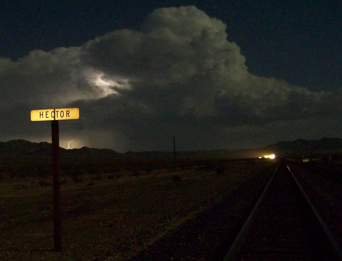
^Lightning bolt at the project site. (Photo by Joe Orawczyk)
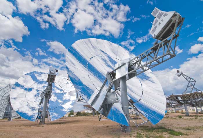
^SunCatcher solar concentrating dishes (Courtesy Sandia National Laboratories). Each dish is 38 feet across.
(Courtesy www.scientificblogging.com.)
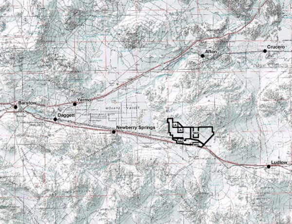
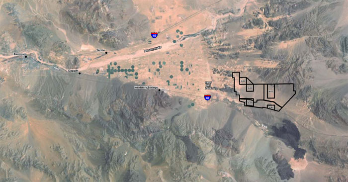
^The project site and surrounding assessment zones, along Interstate Highway 40 east of Barstow.
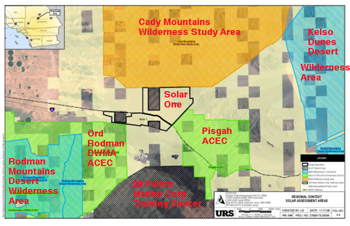
^The Solar One project site 37 miles east of Barstow along Interstate Highway 40. The area is on a fan and valley on Bureau of Land Management land, surrounded by wilderness areas, Areas of Critical Environmental Concerns (ACECs), and Desert Wildlife Management Areas (DWMAs) - U.S. Fish and Wildlife Service Designated Critical Habitat for desert tortoise. Pisgah ACEC holds populations of White-margined beardtongue and Mojave fringed-toed lizard.
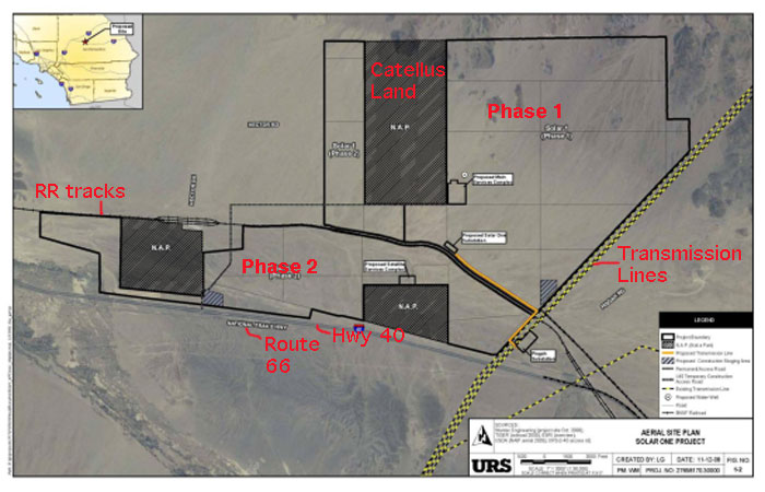
^The 8,230-acre project site. Phase one on the upper fan is slated to begin first, because it is nearest the existing transmission lines. Phase 2 is on lower habitat between a Burlington Northern Santa Fe train track and Highway 40. Dark squares are desert lands formerly owned by Catellus Corporation, purchased by the Wildlands Conservancy to be kept in erupt by BLM. SES says it will not build on these parcels, but they will be surrounded by SunCatcher dish rows and effectively be cut-off as habitat from the surrounding desert, creating disturbed islands.
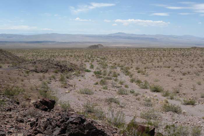
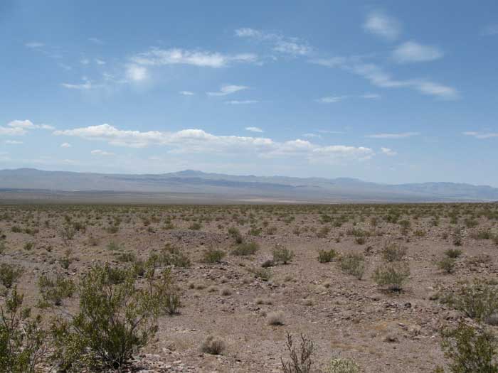
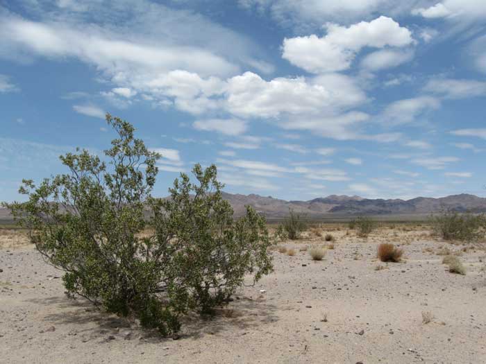
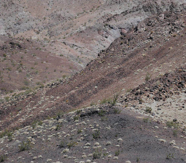
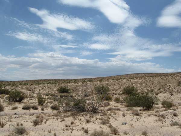
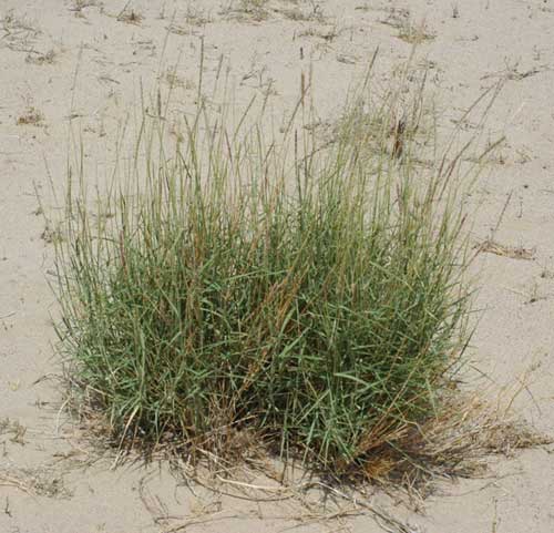
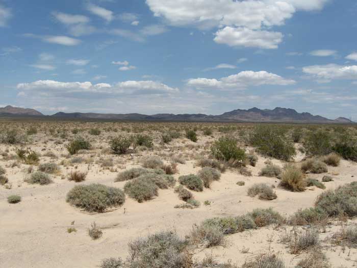
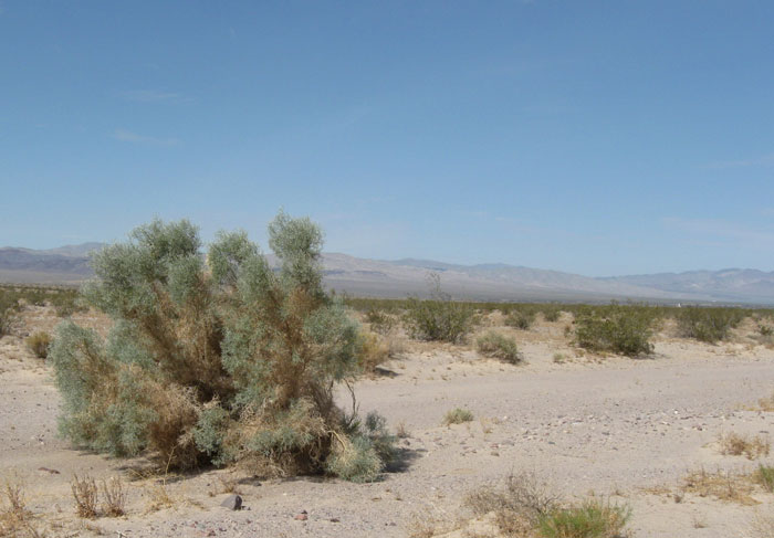
^The project site covers a huge swath of pristine desert across hills, washes, and fan uplands covered with creosote bushes. This view looks west towards the sands of Troy Dry Lake. SES says it will have to build roads throughout this area, including paved main roads, and unpaved access routes to each SunCatcher. The rows of dishes will be 75 feet apart, and the vegetation would have to be trimmed down to 3 feet tall in the section between every other row. SES admits these narrow strips of trimmed vegetation would have "minimal residual biological value" (Biological Resources Baseline Report page 4-2). These highly disturbed areas would also be open to increased invasion by exotic Sahara mustard (Brassica tournefortii) and Red brome (Bromus madritensis ssp. rubens).
Roads and foundations would be bladed. Localized channel grading would also occur.
^Wash coming from the Cady Mountains onto the fan of Phase 1, looking south. As we hiked around the area, we saw Zebra-tailed lizards darting from sandy washes, and Black-throated sparrows singing and calling from creosote. Kangaroo rat burrows dotted the lowlands, and we found scat of Chuckwallas in the rocky hills. A Loggerhead shrike called out harshly as it hunted for lizards and grasshoppers. Even in the dry season this place was full of life.
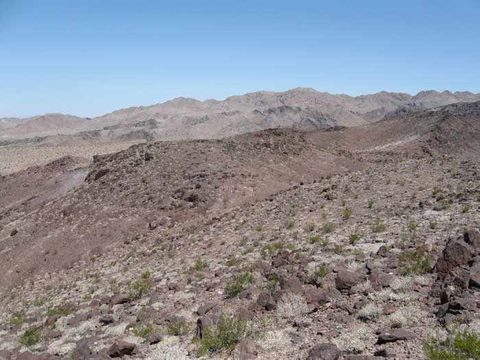
^The wild, rocky Cady Mountains, a proposed Wilderness, along the northern edge of the project site. White-throated swifts flew by overhead.
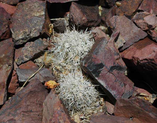
^Fishhook cacti (Mammillaria tetrancistra) cacti in rocky area.
^Morning view of the Cady Mountains from the basin on the site.
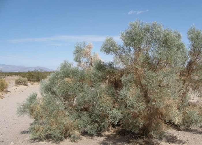
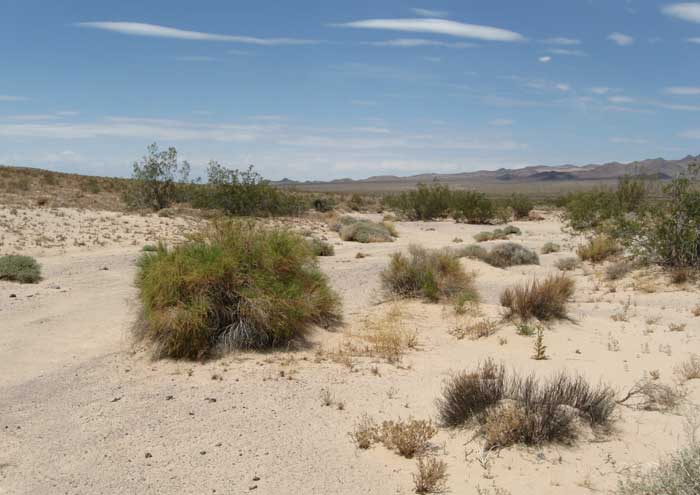
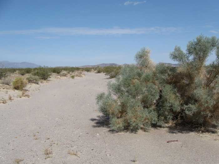
^Smoke trees in a sand wash in the basin, on the project site.
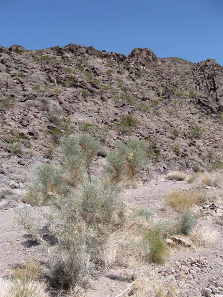
^Cottontop cactus, Bursage, and Creosote on rocky hills of the Cady Mountains proposed Wilderness on the north edge of the site.
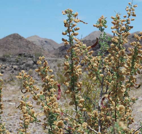
^Catclaw acacia with flowers and seedpods in a small wash on the site.
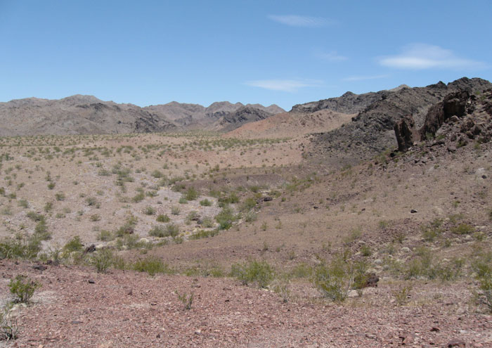
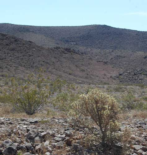
^The proposed solar energy development covers this edge of the Cady Mountains, with its foothills, fans, and washes.
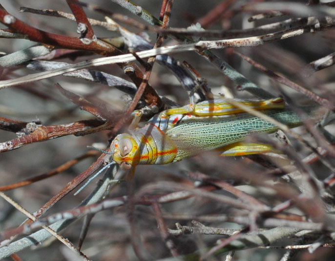
^An amazing rainbow-colored grasshopper hangs in a dry shrub on a creosote flat on site, defying the heat.
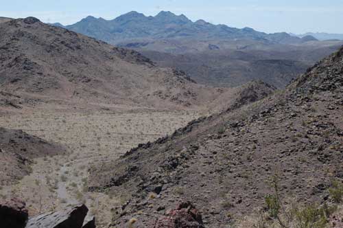
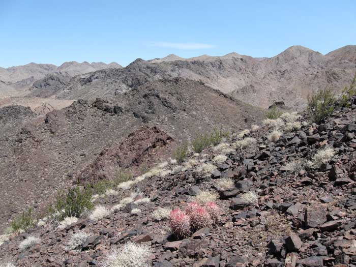
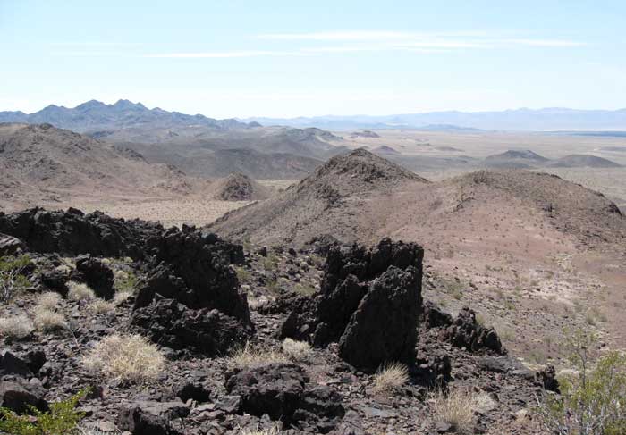
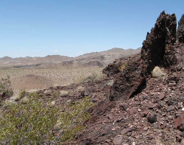
^Canyons in the Cady Mountains adjacent to the Solar One site.
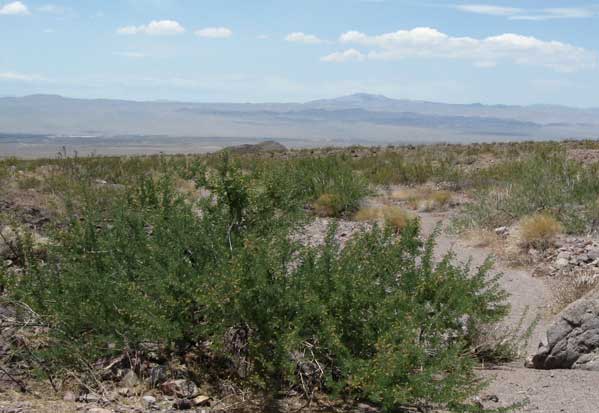
^Catclaw acacias on the fan.
^Cryptantha flowering in a hot sand wash from recent soaking floodwaters.
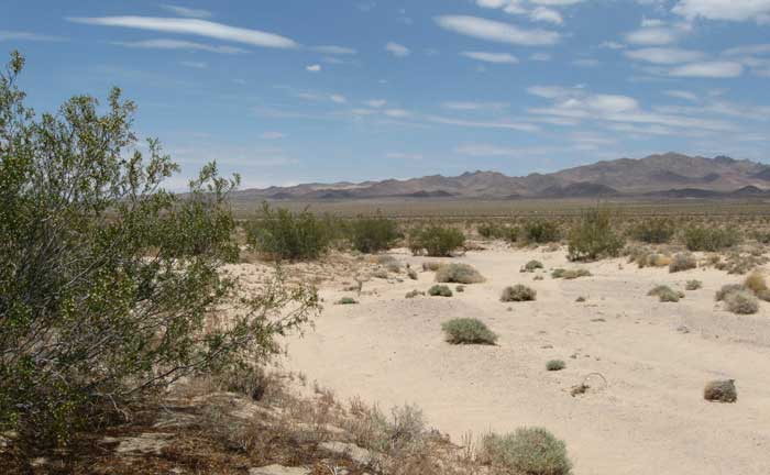
^The wide fan where SunCatcher dishes will be arrayed in rows over thousands of acres.
^Leopard lizards (Gambelia wislizenii), such as the black color variant photographed by SES contract biologists above in March 2008, inhabit creosote fans like that in the previous photo. (From Biological Resources Baseline Report page C-8)
^The same area viewed from the Cady Mountain foothills, looking west. This entire fan is in the proposed development.
^Pencil cholla by hills.
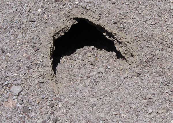
^Tortoise burrow we found on the site. A biologist with California Unions for Reliable
Energy (CURE), at a June 22, 2009 meeting in Barstow, criticized SES for rushing through its tortoise surveys and not following U.S. Fish and Wildlife protocol for this Federally Threatened species. The lack of valid baseline data will preclude any valid impact assessment.
We agree. SES contract biologists only covered 33% of the site in their surveys, and moreover, used presence-absence surveys - simple counts - and then came up with a population estimate of tortoises. This is not possible: methods using population density surveys must be used, such as line-distance sampling or mark-recapture studies. A total of 41 live tortoises were found in the assessment area (the site and buffer areas around it) during presence-absence surveys and incidental work in 2007 and 2008. Active burrows and other sign were also found. SES needs to go back and do proper surveys, as the area is good tortoise habitat and may have a fair density of animals on it.
SES proposes to translocate all tortoises from the site, to an area to be determined later, and put up a perimeter fence around the lease property to exclude entry of tortoises.
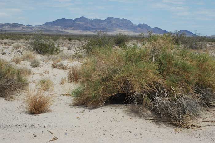
^A possible tortoise "pallet" - a resting spot in the shade of a Cheesebush - on a sandy flat in Phase 2 of the project site, with the Cady Mountains in the background.
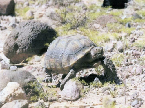
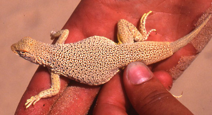
^Desert tortoise found on the site in April 2008 by SES contract biologists. (From Biological Resources Baseline Report page C-8)
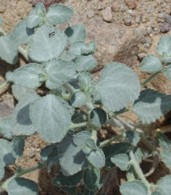
^Tiquilia, a low mat-like desert plant, adapted to extreme heat and aridity.
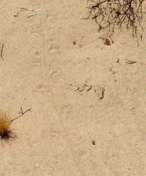
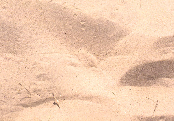
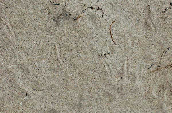
^Lizard tracks in sand.
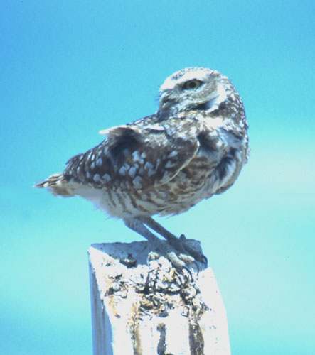
^Burrowing owls are found on the site. SES admits that "impacts in resident burrowing owls would be considered significant" (quote in Biological Resources Baseline Report page 4-3).

^Field sketch of Le Conte's thrasher, a bird that uses its long curved bill to scratch through leaf litter under desert shrubs for insects, seeds, and even small lizards. SES surveyors did not find this species on the site, but reported a California thrasher in their Biological Resources Baseline Report, which we believe was a mis-identified Le Conte's thrasher. California thrashers, with a similar long bill, are restricted to western California chaparral. Le Conte's thrashers live throughout the Mojave Desert, in desert flats, washes, and alluvial fans with sandy or alkaline soil and scattered shrubs. It is a BLM Sensitive Species and California Species of Special Concern. According to the BLM, "large tracts, unfragmented by urban development are needed to maintain viable populations of Le Conte’s Thrashers." Substitute "renewable energy development" for the current wave of habitat fragmentation.
^Creosote on a sand-gravel flat.
^View of the railroad track looking from Phase 2 towards the fan of Phase 1 and the Cady Mountains. Remains of dry spring wildflowers cover the ground.
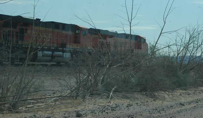
^Train moving through on the track bisecting the project site.
^Smoke tree. wash in a canyon mouth.
^View looking eastward into the Pisgah ACEC and Cady Mountains, habitat of Desert bighorn sheep, Golden eagles, Desert tortoises, Chuckwallas, and Mojave fringe-toed lizards.
Bighorn Sheep Range
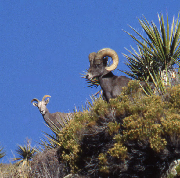
^Ewe and ram Desert bighorn sheep in the Mojave.
^Bighorn sheep trails in the Cady Mountains, on the north side of the project site. During a June 22 meeting in Barstow, the Society for Conservation of Bighorn Sheep expressed alarm at how the project site cuts across a portion of permanent sheep range in the lower Cady Mountains on the northeastern side. "We were very concerned with the scope of this project as it's stated now, and that particularly the northeast corner is definitely within bighorn sheep habitat. Sheep habitat is very important," said Steve Marschke, representing the Society.
^Rock outcrop in the Cady Mountains. We found signs of sheep all around these foothills: trails, eaten buckwheat plants (Eriogonum inflatum), and scat.
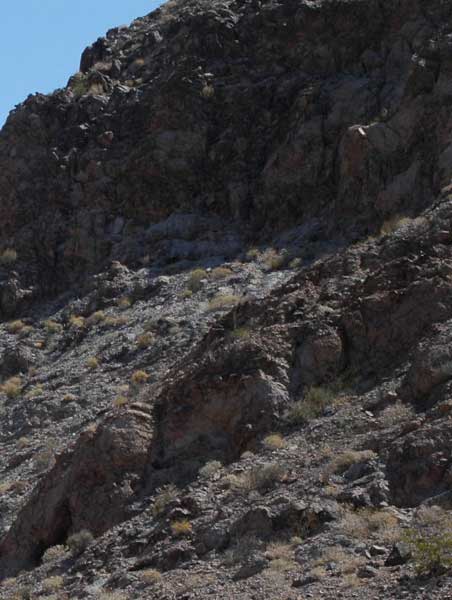
^Shadowed cliffs of the Cady Mountains.
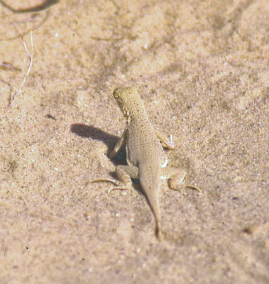
Mojave Fringe-toed Lizard
^Mojave fringe-toed lizard (Uma scoparia), from Kelso Dunes, 50 miles northeast of the project site. Note the fringe of specialized scales on the hind-toes of this lizard, allowing it to run across loose sand quickly and easily. The hand digits also have fringes.
^Sandhill in the middle of Phase 2 project site proposal. In June 2008 SES contract biologists found fringe-toed lizards on fine wind-blown sand habitats in the project area between the railroad tracks and Highway 40. This species was also found to the northwest and to the east of the site.
SES says it will try to avoid direct disturbance of the habitat where the lizards are found, and would fence off the area. But this would also isolate the habitat patch, cutting off both sand flow and potential gene flow in the future as dispersing lizards would be blocked. SES also claims that mitigation for the fringe-toed lizards would be accomplished by mitigation habitat found for the Desert tortoise translocation; this would not be viable, as the lizards require loose sand, and this is not ideal tortoise habitat.
^Sand wash habitat with Creosote, Cheesbush, and Big galleta grass. This area was full of the signs of nocturnal life: Kit fox tracks, Black-tailed jackrabbit scat, kangaroo rat tracks, as well as the sino us marks of Sidewinders and Shovel-nosed snakes. A Round-tailed ground squirrel called out even during the heat of the day from its burrow entrance.
^Sand wash with Bursage, Big galleta, and Creosote.
^Mojave fringe-toed lizard. Herpetologist Kenneth Norris noticed in the 1950s how the Pisgah area presents a unique situation for lizard color adaptation to backgrounds. The Umas here live on whitish sand and exhibit some of the lightest color of any Mojave fringe-toed lizard. In contrast, Side-blotched lizards (Uta stansburiana) on adjacent black lava flows are nearly black in color. (K. Norris, 1952, The Evolution of the Iguanid Genus Uma, Thesis, University of California, Los Angeles.)
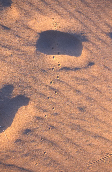
^Characteristic "pogo-stick" tracks of fringe-toed lizard in sand (Kelso Dunes).
^Fringe-toed lizard buried in sand (center). These lizards can run fast over dunes and dive down into the sand using their duck-like snout, wriggling in to hide.
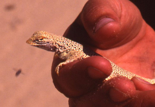
^Duck-like flat snout on Mojave fringe-toed lizard from Kelso Dunes. The eyelids have a fringe of scales to keep sand out. The lizards feed on insects.
^Big galleta grass (Hilaria rigida), on sand habitat.
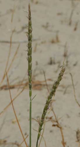
^Seed spikes of Big galleta.
^Desert dicoria in a sand wash bank. These plants flourish in early summer despite the heat, long after spring wildflowers have withered.
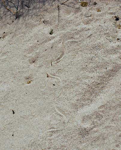
^Track of a small Shovel-nosed snake (Chionactis occipitalis) in a sand wash on the site.
^Sidewinder (Crotalus cerastes) tracks in sand.
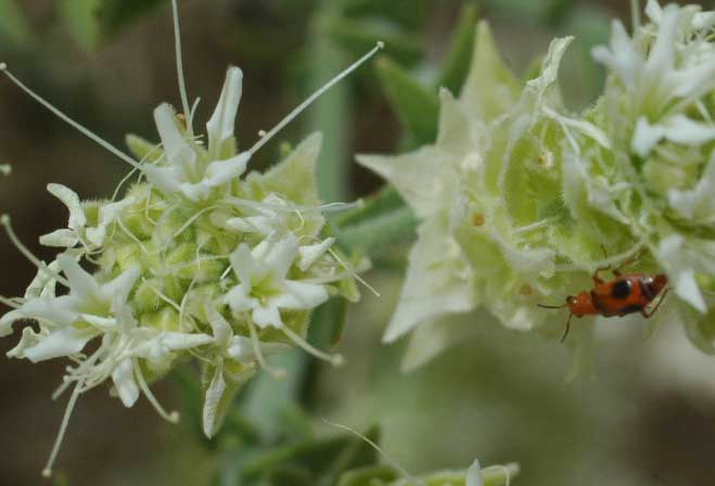
Beetle on Sandpaper bush flowers. These plants were just about the only thing blooming at the time of our visit, and were swarming with insect pollinators.
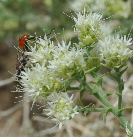
^Wasp on Sandpaper bush flowers.
^Sand habitat with Mojave fringe-toed lizard.
^Mojave fringe-toed lizards are also apparently found in the sandy areas between black lava flows on the far western edge of the project site.
^Imagery showing sand blown by prevailing westerly winds from the ephemeral Mojave River flowing from Barstow eastward paralleling Highway 15 toward the upper right. Circles of alfalfa and other crops occupy the Troy Dry Lake basin, and from there sand apparently moves into the Pisgah basin along Highway 40. Pisgah Crater and associated lava flows are the black area in the lower right corner. The SES Solar 1 project site and surrounding assessment area is shown in outline. The project has the potential to block sand movement from the Mojave River source area to the Pisgah ACEC east of the project site, which has sand habitat set aside for the Mojave fringe-toed lizard.
Ephemeral Streams and Washes
^A sandy wash with Smoke trees in the lower basin inside Phase 2 of the project site. Smoke trees are. obligate wash riparian plants, phreatophytes with deep roots to tap into underground water (Bruce Pavlik, The California Deserts: An Ecological Rediscovery, 2008, University of California Press: Berkeley).
SES claims that the project area has no ephemeral streams or washes. But we found otherwise on our site visit. Even ephemeral washes in arid regions can be designated as state or federal jurisdictional waters.
Waters of the U.S. are evaluated based on the presence of an ordinary high water mark (OHWM) or the boundary of adjacent wetlands defining their limits. The U.S. Army Corps of Engineers (Corps) (2001), Final Summary Report: Guidelines for Jurisdictional Determinations for Waters of the United States in the Arid Southwest, states that:
“In dryland fluvial systems typical of the desert areas, the most common physical characteristics indicating the OHWM for a channel usually include, but are not limited to: a clear natural scour line impressed on the bank; recent bank erosion; destruction of native terrestrial vegetation; and the presence of litter and debris. For many small desert wash systems, the presence of continuous well-developed upland vegetation in the stream channel is a good indicator that it only conveys surface flow during extremely large storm events and, as a result, would not usually constitute a jurisdictional water of the United States.”
We found washes with scour lines, recent bank erosion, plant debris from flooding, as well as water ripple marks (see photos below).
Jeff Ardahl of the Defenders of Wildlife, at a June 22 meeting in Barstow, also told SES, "There are clearly washes out there," as well as playas, seasonal lakes. He stated that this has not been addressed.
In addition, SES contradicts itself in its Biological Resources Baseline Report page 3-10, by stating that "there are no channels on-site that meet the definition of a stream, wash, or similar aquatic feature...." Yet on page 4-1 they say culverts will need to be built in places on the site where floodwaters cross, and that the site layout will avoid "major washes." In the northeast corner a cement channel would be constructed to handle potential 100-year flooding.
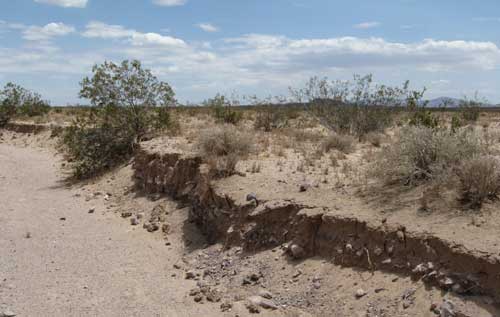
^A wide wash with bank south of the train tracks on the site, showing bank scour and erosion.
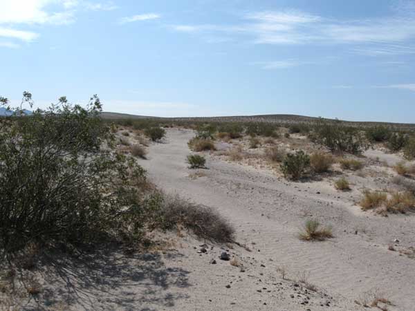
^Wash with water flow ripples in the sand.
^Sandy wash.
^Wash with smoke tree.
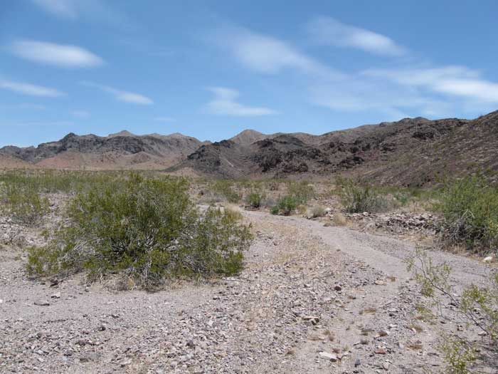
^Wash coming out of a canyon in the Cady Mountains on the northern part of the project site.
^Braided washes pour out of a large canyon in the Cady Mountains, onto the proposed solar energy development.
More photos, Fauna and Flora Lists, Reptiles of Pisgah Crater >>here.
HOME.....Page 2.....Solar Energy Study Areas